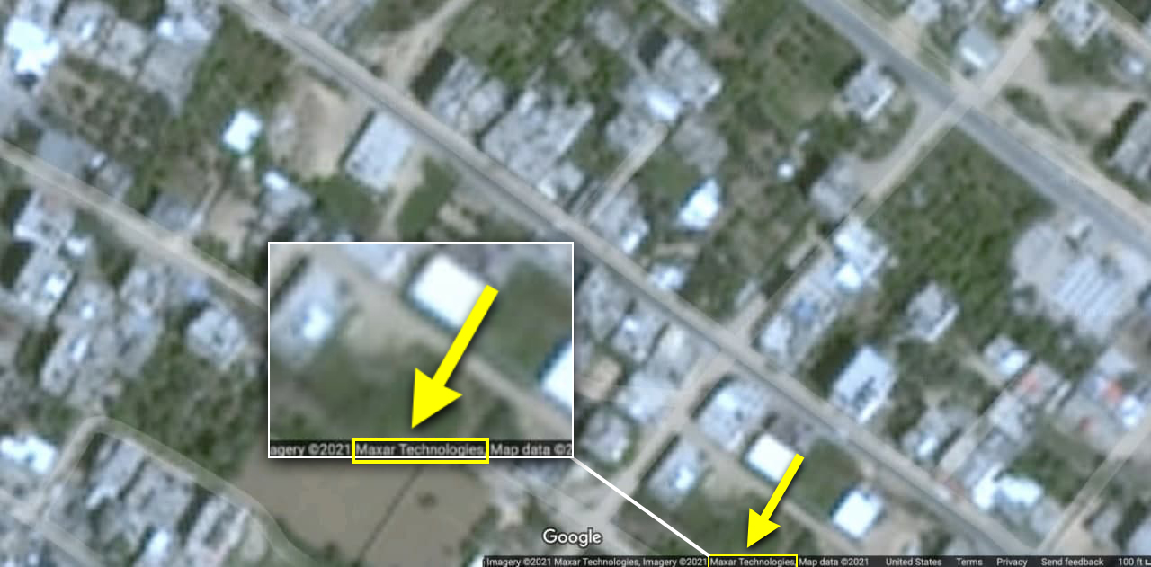
During the recent war, Israeli airstrikes caused extensive damage to schools, power lines, water and sewage, and the health system in Gaza. One of the main tools of researchers and journalists in assessing the extent of damage to an area is the use of satellite maps. But given the censorship of Gaza by companies like Google, this is difficult to do. Therefore, journalists and researchers have to turn to commercial satellite companies or meet their needs through other means to obtain these images.
According to Google, satellite imagery on Google Maps is provided by various companies. Google claims it will update maps of Gaza whenever high-quality images become available.
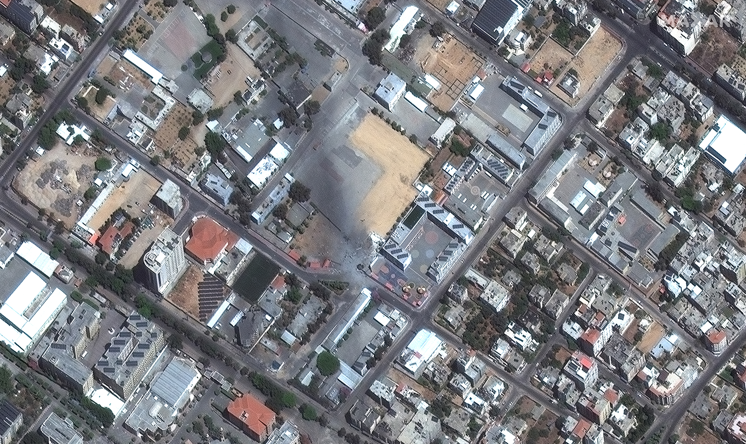
Google’s claim comes as MAXAR Satellite, one of Google’s partners in providing the company’s maps, recently released high-quality images of the Gaza war. This indicates that images are available and that Google is deliberately refusing to update its maps of Gaza in order to cover up the Zionist regime destructive actions against Palestinian in Gaza.



Leave a Reply